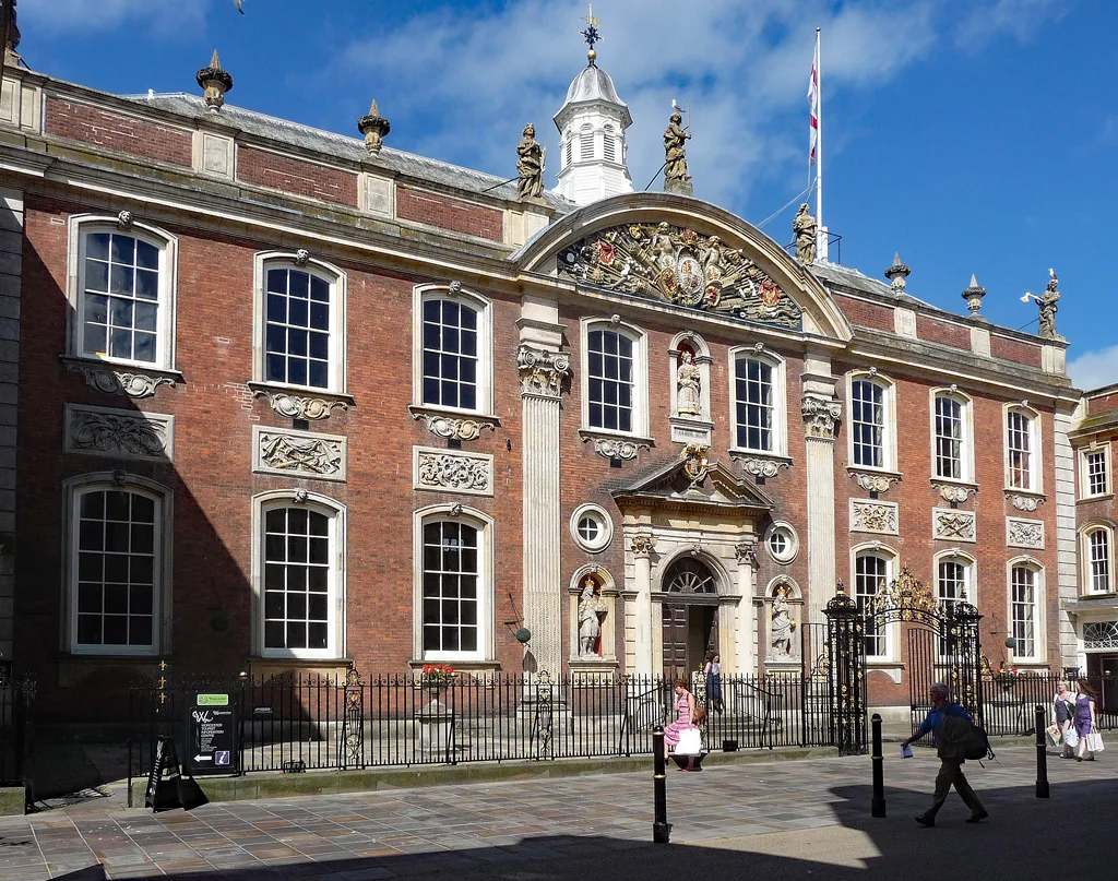

Worcester's Planning Committee approved all 23 applications it decided in 2025/26. The new South Worcestershire plan and the city's allocated sites.
Worcester City Council’s Planning Committee considered 23 applications in 2025/26 and approved all 23, refusing none. That is from the committee’s own annual report, signed off at its meeting on 23 July 2026 by its chair, Councillor Karen Lewing.
It is a smaller number than it sounds. The council decided 426 planning applications in the same year, and 95% of them never reached the committee at all: they were settled by officers under delegated powers. Across the whole service, 364 were approved and 62 refused, so the city’s real refusal rate is about one in seven.
The bigger story this year is the plan behind those decisions. On 25 March 2026 the council adopted the South Worcestershire Development Plan Review, replacing a plan from 2016, and immediately agreed to start work on another one.
The new Local Plan, and why there is already a replacement
The South Worcestershire Development Plan Review is a joint plan covering Worcester City, Malvern Hills and Wychavon. Two government-appointed inspectors, Lewis and Worthington, found it sound and legally compliant subject to modifications that were consulted on in January and February 2026, drawing over 200 responses. All three councils adopted it in the same week.
What it commits the three districts to:
- 18,852 new homes between 1 April 2025 and 31 March 2041, an annual requirement of 1,178 dwellings.
- 313.80 hectares of employment land over the period 2021 to 2041.
- A five-year housing land supply on adoption, including a 5% buffer, which means the “tilted balance” that had favoured developers no longer applies.
The 1,178 figure is made up of 1,147 homes a year of local housing need, plus 500 homes at Mitton allocated to meet Tewkesbury Borough Council’s unmet need. In the first four years of the plan period, 2021 to 2025, 6,175 homes were completed. The council says the supply in the plan exceeds the requirement by 2,505 dwellings, a margin of 13.31%.
The catch is in the inspectors’ third finding. They said the three councils need to undertake an immediate review. In December 2024 the Government changed the standard method for calculating housing need, which pushed South Worcestershire’s requirement up sharply. Transitional arrangements let the councils finish this plan on the old figure, but only on condition they start again straight away on the new one.
The Ministry of Housing, Communities and Local Government set the timetable: a Notice of Plan Making by 30 June 2026, and a published Gateway Assessment by 31 October 2026. The three councils agreed in March to prepare the replacement jointly, and said they would do so regardless of local government reorganisation, because plan-making cannot be paused while a new authority is set up.
What is allocated inside Worcester
Worcester City Council’s own officers put the city’s problem plainly in the adoption report: “The city of Worcester has a highly constrained boundary which has meant the city is not able to meet all of its identified housing (including affordable housing) and economic development needs.”
The numbers show it. The plan’s dedicated housing allocations inside the city total just 267 dwellings across nine sites, most of them small:
| Site | Indicative homes |
|---|---|
| Land off Oak View Way, Bromyard Road | 120 |
| Sansome Walk Swimming Pool | 40 |
| Checketts Lane Industrial Estate | 39 |
| Land off Brickfields Road, Blackpole | 24 |
| County Council offices, Bilford Road | 15 |
| Royal Worcester Porcelain gap site | 10 |
| Former Zig Zag site, St John's | 8 |
| Rear (west) of Liverpool Road | 6 |
| Rear of 14 to 20 Barbourne Road | 5 |
| Total | 267 |
A further 1,000 homes sit in mixed-use allocations, and almost all of them are in one place. The Shrub Hill Opportunity Zone is allocated for 900 dwellings including student accommodation and extra care units across 22.6 hectares, subject to the Shrub Hill Quarter supplementary planning document and to the setting of the scheduled Civil War earthwork at Tamar Close. Lowesmoor Wharf takes the other 100, on 1.14 hectares, with the working boatyard there protected under the agent-of-change principle.
So of roughly 1,267 homes allocated inside Worcester, seven in ten are at Shrub Hill. The rest of the district’s growth is in Malvern Hills and Wychavon, outside the city boundary, which is the practical consequence of that constrained boundary. It is also part of why Worcester house prices sit below the Worcestershire average: the city’s stock is overwhelmingly terraces, semis and flats, and the plan does little to change that mix.
The plan also carries mixed-use policies for a retail-led scheme at the Fire Station, Chapel and Friary Walk, Angel Place site; Trinity House, Cornmarket and Lowesmoor; university-related development at Chequers Lane and Henwick Road; the Cathedral Quarter and Sidbury cultural zone; and two “Opportunity Areas” without fixed boundaries at the Riverside and St Clements Gate.
Where a Worcester planning application actually gets decided
The reason the committee sees so few applications is the officer scheme of delegation: anything that falls inside it is decided by planning officers, and only cases outside it, or ones a councillor formally calls in, go to a public meeting. Of the 23 the committee did handle, 14 were there because the council itself was the applicant, owned the land or a councillor had called it in.
Speed has improved. 48% of householder applications were decided within six weeks of validation, up from 40% the year before, and 99% within the statutory period or an agreed extension. Extensions of time were agreed on 38% of applications, down slightly from 40%. The council received 10 planning complaints in the year, two upheld in full and two partially, a 10% fall on the previous year.
What it means for you
- If you are objecting to a scheme near you, the odds are it will be decided by an officer, not at a meeting. Comments still count, but the route to a public debate is asking your ward councillor to call the application in.
- If you are applying, a householder application has roughly a one in ten chance of refusal and a fair chance of a decision inside six weeks.
- If a site near you is allocated in the plan, that does not mean a development is approved. It means the principle of building there has been accepted in policy, which makes a later refusal much harder.
- The rules will change again. The replacement joint plan has to work to the Government’s higher housing figure, so sites ruled out this time will be looked at again. The Gateway Assessment due by 31 October 2026 is the next public milestone.
The 2028 deadline behind all of it
Worcester City Council, Malvern Hills District Council and Wychavon District Council were due to merge into a single South Worcestershire unitary authority on 1 April 2028. The government paused that decision on 7 September 2026 while it reviews the reorganisation programme (our report), so the date is no longer certain. (Updated 17 September 2026.) The March adoption report is explicit that plan-making cannot wait for that: the new joint plan has to be prepared under the new framework regardless of how reorganisation lands, and the three councils argued that a south Worcestershire plan area remains the right one either way.
Frequently asked questions
How do I find or comment on a Worcester planning application?
Through Worcester City Council’s own planning register at plan.worcester.gov.uk. Worcester is not on the Idox Public Access system that most neighbouring districts use, so the search works differently from Malvern Hills or Wychavon.
What is Worcester’s Local Plan?
The South Worcestershire Development Plan Review, adopted on 25 March 2026 and shared with Malvern Hills and Wychavon. It replaced the 2016 South Worcestershire Development Plan and runs to 2041.
How many homes does Worcester have to build?
The plan sets a joint requirement of 1,178 homes a year across the three districts, or 18,852 between 2025 and 2041. Inside the Worcester city boundary the plan allocates about 1,267 homes, of which 900 are at the Shrub Hill Opportunity Zone.
Does Worcester City Council refuse many applications?
Roughly one in seven. In 2025/26 it made 426 decisions, approving 364 and refusing 62. The Planning Committee itself approved all 23 applications it considered.
What is the Shrub Hill Opportunity Zone?
A 22.6 hectare mixed-use allocation around Shrub Hill station, allocated for 900 dwellings including student accommodation and extra care units alongside commercial development. Proposals must have regard to the Shrub Hill Quarter supplementary planning document and to a scheduled Civil War earthwork at Tamar Close.
Why is the council writing a new plan straight after adopting one?
Because the inspectors required it. The Government changed the housing need calculation in December 2024 while the plan was being examined; transitional rules let the councils finish on the old number on condition they immediately review it against the new one.
Sources
- Worcester City Council, Adoption of the South Worcestershire Development Plan Review, report to Council 25 March 2026 for the adoption, the inspectors’ findings, the immediate review requirement and the MHCLG deadlines.
- South Worcestershire Development Plan Review, adopted plan for policy SWDPR 02 (housing and employment requirements) and policy SWDPR 69 (Worcester City allocations).
- Worcester City Council, Planning Committee Annual Report 2025/26 for application numbers, approval and refusal figures, delegation rates and complaints.
- Worcester City Council planning register to search and comment on live applications.
Figures cover the year to 31 March 2026 unless stated. Planning positions change; check the council’s own documents before relying on any of this.
Have your say